Classification: Dillon, Hewitt, Marilyn
Height: 641 metres
County: Wicklow
Distance: 5.16km
Dillon Count: 52
Second Occassion
Date: June 5th 2013
It's been a quite a while since I've updated this blog. In that time, I've been up Scarr in the Wicklow Mountains twice. The first time was on a walk from Glenmacanass Waterfall whilst the second occasion was during an IMRA race.
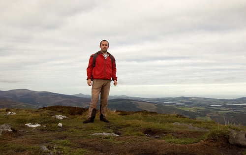
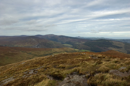
I can't remember much of either occasion. The walk from Glenmacannas is straightforward and quite easy-going after the initial climb up to Kanturk. The path from Kanturk is well defined with the pretty nondescript summit of Scarr being marked with a small and unimpressive cairn. I walked the mountain on a fine summers evening with the out-and-back route easily done within the hour including stops to take some photos. Views from the top are impressive with Tonelagee dominating the view to the west and the vista continuing around to The Great Sugarloaf and the glistening Irish Sea.
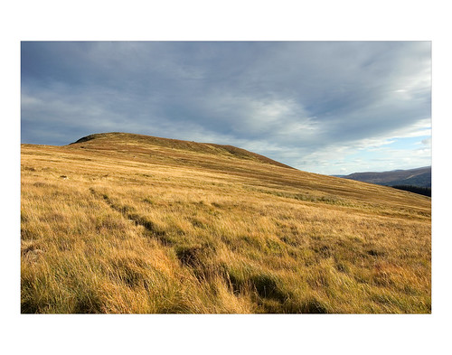
On the descent, the light from the sun setting over Tonelagee cast vibrant colours on the slopes of Scarr as well as the surrounding hills.
Recollections of the IMRA race are equally vague other than it was a gorgeous summer evening. The weather brought a big crowd out with 230 taking part. This was one of the more runnable IMRA races and I think I managed to run the majority of the ascent. As always with these races, the descent was great fun and extremely tiring. I finished the race in a credible position of 110 with a time 47:51.
 |
| Feeling the going on the descent |


