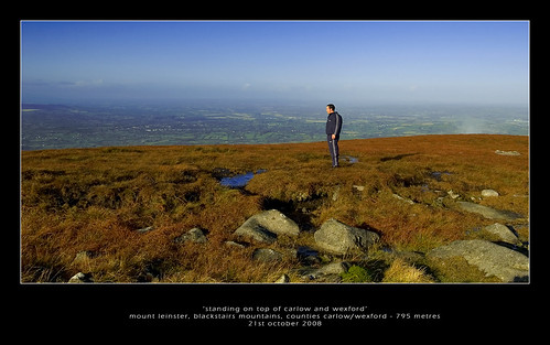
Date First Walked: October 21st 2008
Range: Blackstairs Mountains
Mapsheet: 68
Distance: circa 4-5km
Classification: Dillon, Hewitt, Marilyn, 2 County Tops (Carlow, Wexford)
Height: 795 metres
County: Carlow/Wexford
My Dillon Count: 2
About as easy as it gets. While the hard-core walker can do Mount Leinster from the bottom of the mountain, the mountain can be easily tackled from the spacious car park at ‘Nine Stones’ which can be approached from either Borris or Bunclody along roads sign-posted ‘Mount Leinster’. The drive up to 400 metres opens up some spectactular views across the surrounding countryside.
Mount Leinster houses a huge RTE mast, one of several located around the country and the easiest way to make the summit is via the paved access road near to the car park. This road is normally gated but I have heard of people driving to the top when the gate was open.
The road winds up the hill quite steeply in places – when I walked it, I was greeted on my way back down with the screeching engines of a couple of RTE vans struggling to make it up the stepper parts of the ascent. As you approach the monstrous mast atop the hill, a trig pillar sits atop a cairn to the right of the road marking the summit proper. The cairn is supposedly the burial chamber of the King of Leinster who was slain at the foot of the mountain in 693 AD. The views from the higher parts of the access road and from the summit are excellent on a clear day although there is invariably some wind at the top. Indeed, the site is a popular location for hand-gliding enthusiasts to launch from.
The summit of Mount Leinster demarks the border of Carlow and Wexford and it marks the highest point in both counties.
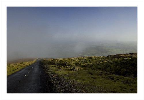
Cloud cover over the access road
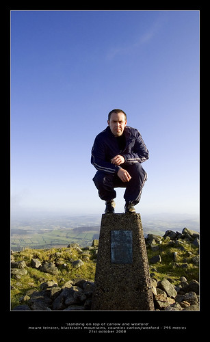
Me on the trig pillar, on top of Carlow and Wexford!
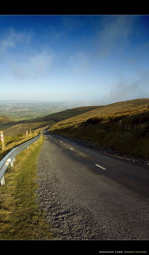
The winding and steep access road
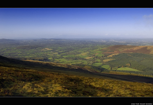
View from the access road
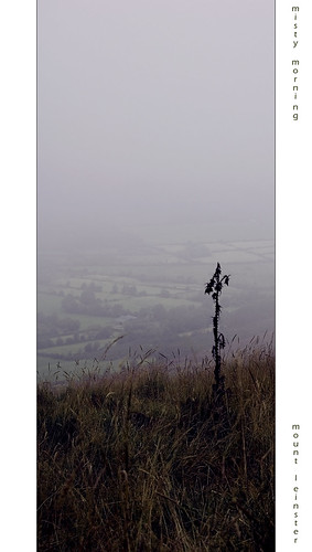
Misty morning on Mount Leinster

No comments:
Post a Comment