Mapsheet: 56
Distance: ????
Classification: Dillon, Hewitt, Marilyn, County Top (Dublin)
Height: 757 metres
County: Dublin/Wicklow
My Dillon Count: 6
Up there with Mount Leinster for the title of easiest summit. Like Mount Leinster, Kippure is a handy walk up the access road to another similarly ugly RTE mast. In fact, the walk up Kippure is probably easier given that it starts at the gate to the road which is already at around 520 metres. Driving the military road (R115) from Glencree towards Sally Gap, the mountain is instantly recognisable by the mast on its summit and the road can be seen sweeping up the slopes of the mountain.
There is room for a few cars to park at the gate and the walk up is less steep that that up Mount Leinster. On the day I walked it, I was passed by a man running up the road and I was still only halfway up when I met him on his way back down. The road takes a wide sweep to the right then back to the left before you reach the summit. The mountain can be quite exposed and I was greeted with high winds howling disconcertingly through the steel of the cloud-covered mast.
Walk around the back of the enclosure containing the mast and it’s associated humming service-buildings to locate the trig pillar which marks the summit proper standing literally under the mast and its huge stay-cables. This is the highest point in County Dublin. There’s nothing attractive or endearing about the summit of Kippure so it's probably best to retrace your route back down the access road. I have heard of Kippure being linked to Seefingan and it's nearby summits but I believe that the ground linking the two mountains is very tough going.

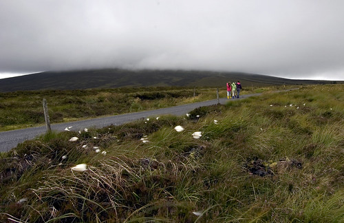
A cloud-covered Kippure

On the road to Kippure

On top of Dublin

No comments:
Post a Comment