Tuesday, October 20, 2009

Slieve Binnian, The Back Castles/North Top

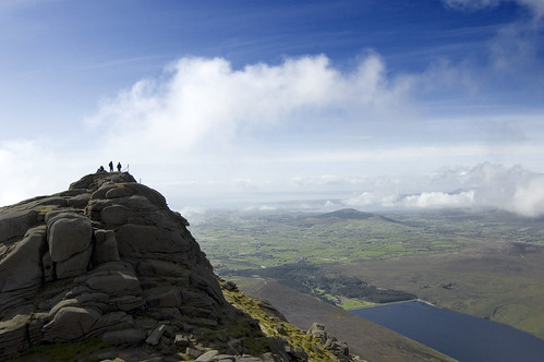
On The Tor (Slieve Binnian)

Slieve Binnian
Range: Mourne Mountains
Date First Walkes: Feburary 14th 2009
Mapsheet: 29
Classification: Dillon, Hewitt, Marilyn
Height: 747 metres

County: Down
My Dillon Count: 3

Back Castles

Range: Mourne Mountains
Date First Walkes: Feburary 14th 2009
Mapsheet: 29
Classification: Dillon
Height: 678 metres
County: Down

My Dillon Count: 4

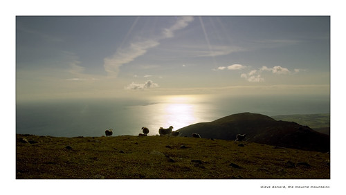
A superb mountain, Binnian is best known for the its spectacular rugged crest of rocky tors making it easily identifiable around the Mourne Mountain range. For me, Binnian is the best mountain in the Mournes and it offers stunning views across the Mourne range. On both times I’ve been on the mountain to date, I’ve been lucky enough that the cloud cover we had while climbing moved off by the time were at the summit. The various rocky tors on the summit crest offer loads of interest. This walk encompasses two ‘Dillons’, the summit of Binnian itself as well as the Back Castles.

Start the walk from Carrick Little carpark at the huntion of the Head Road and Oldtown Road near Annalong. Follow a stony track that runs alongside an impressive boulder wall as far as a stone stile beside an iron gate. At the gate, veer left to follow the Mourne Wall which runs uphill. The wall offers a sure guide almost all the way to the summit of the mountain over some quite steep and rocky ground. You will meet a couple of subsidiary walls and as you near the top you will see a break in the wall where it runs into a face of granite. You should aim for a prominent
notch in the granite which on passing through, opens up views down to the Silent Valley reservoir.

Should you wish to reach the summit proper, you will need to use your hands to climb the rock. From the summit of Binnian, it is possible to see the Isle of Man and the mountains of Wicklow on a clear day.

From the summit, follow the crest across over a ruined wall to the Back Castles, the second ‘Dillon’ of the walk. There is some confusion as to where exactly Dillon regards as being a summit with some reckoning he refers to the North Top which is the obvious crest further on. In either case, your walk will bring you across both. Look out for the North Tor, a magnificent lump of granite towards the end of the crest.

Turn right and follow a path downhill taking care not to venture too near any crags on the slopes. You will eventually meet a clear path which leads past a corner of Annalong Wood and back to the gate you originally passed through.

Note that this walk could be expanded by including Slieve Lamagan or alternatively heading down the opposite side of Slieve Binnian towards Wee Binnian and taking in some of the tops around Slient Valley/Ben Crom. If descending Binnian towards Wee Binnian, take care to avoid the outcrops of granite along the wire fence marking the wall as these quickly lead onto steep and slippy rocks.
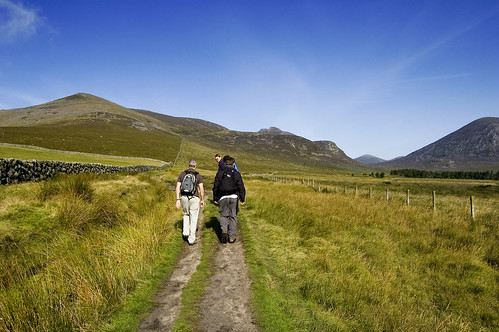
Setting Off
Mark, Jason and Ronan taking the track towards Binnian from Carrick Little
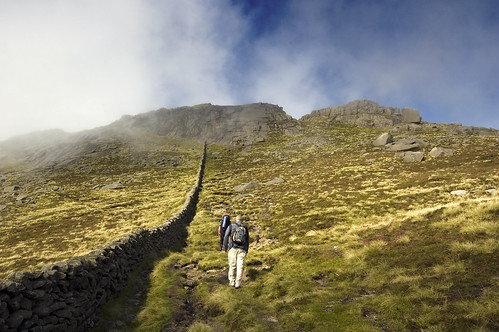

Into the Clouds
Close to the summit of Binnian. Aim for the prominent notch
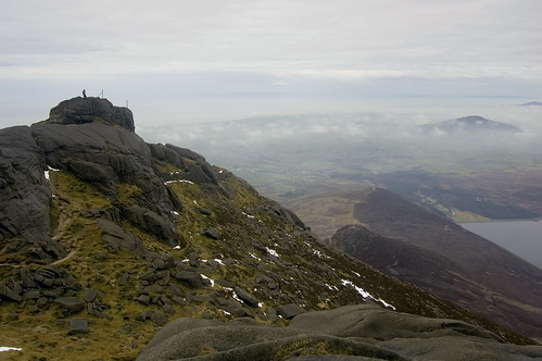
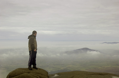
On Slieve Binnian's Tor
Me on Binnian's summit tor

Up In The Sky
Me on one of the rocky outcrops on the summit of Binnian
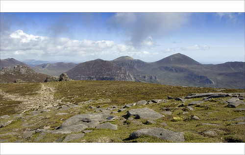

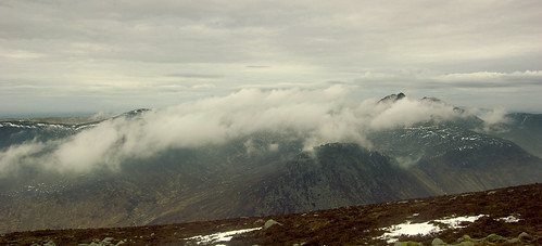
View from Binnian
View from Binnian towards the Back Castles and North Tor
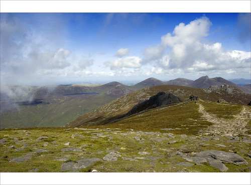

View of Binnian North Top
View from Binnian towards the Back Castles and North Tor
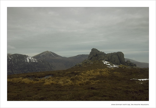

Slieve Binnian North Top
North Tor from North Top


The Mournes
View from Binnian's North Top
Mount Leinster

Mount Leinster Summit

Date First Walked: October 21st 2008
Range: Blackstairs Mountains
Mapsheet: 68
Distance: circa 4-5km
Classification: Dillon, Hewitt, Marilyn, 2 County Tops (Carlow, Wexford)
Height: 795 metres
County: Carlow/Wexford

My Dillon Count: 2

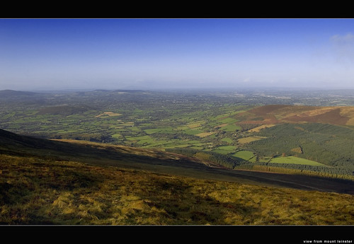
About as easy as it gets. While the hard-core walker can do Mount Leinster from the bottom of the mountain, the mountain can be easily tackled from the spacious car park at ‘Nine Stones’ which can be approached from either Borris or Bunclody along roads sign-posted ‘Mount Leinster’. The drive up to 400 metres opens up some spectactular views across the surrounding countryside.

Mount Leinster houses a huge RTE mast, one of several located around the country and the easiest way to make the summit is via the paved access road near to the car park. This road is normally gated but I have heard of people driving to the top when the gate was open.

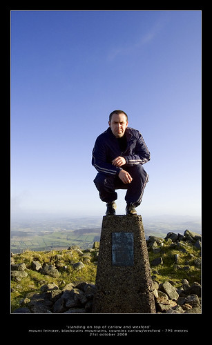
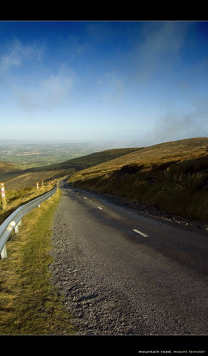
The road winds up the hill quite steeply in places – when I walked it, I was greeted on my way back down with the screeching engines of a couple of RTE vans struggling to make it up the stepper parts of the ascent. As you approach the monstrous mast atop the hill, a trig pillar sits atop a cairn to the right of the road marking the summit proper. The cairn is supposedly the burial chamber of the King of Leinster who was slain at the foot of the mountain in 693 AD. The views from the higher parts of the access road and from the summit are excellent on a clear day although there is invariably some wind at the top. Indeed, the site is a popular location for hand-gliding enthusiasts to launch from.

The summit of Mount Leinster demarks the border of Carlow and Wexford and it marks the highest point in both counties.

Into The Mist
Cloud cover over the access road

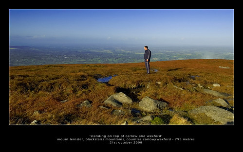
On Top of Carlow and Wexford
Me on the trig pillar, on top of Carlow and Wexford!

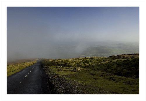
The Mountain Road (Mount Leinster)
The winding and steep access road

View from Mount Leinster
View from the access road

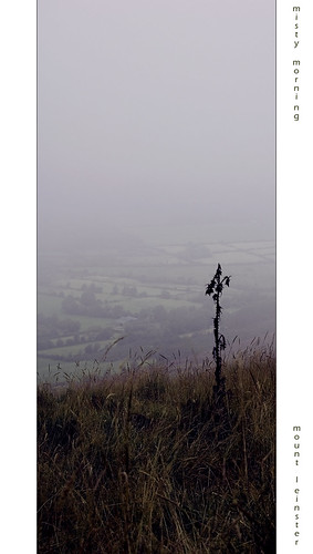
misty morning, mount leinster
Misty morning on Mount Leinster

Slieve Donard - my first 'Dillon'

Walking the Mourne Wall

Date First Walked: September 28th 2008
Range: Mourne Mountains

Mapsheet: 29
Distance: circa 10km
Classification: Dillon, Hewitt, Marilyn, County Top (Down)
Height: 850 metres
County: Down
My Dillon Count: 1

My hillwalking debut. Having had the idea that I'd like to climb a mountain floating around in my head for some time, I saw this as sympthomatic of a mid-life crisis so decided to tackle Ulster's highest mountain to get it out of my system. What I hadn't anticipated was the enjoyment I'd take from the experience that would convert itself into a hobby and by times something of an obsession!.

We tackled Donard from Bloody Bridge, a round-trip of about 10km which follows part of the infamous 'Brandy Pad', a track created by smugglers of illicit cargoes of goods through the mountains from the east coast inland.

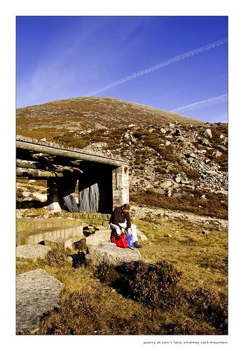
Follow the river on your left until an obvious crossing spot around 1km upstream before continuing up along the old quarry road. After climbing around 2km, you will reach the site of an old quarry complete with outhouse which is a good spot to have a snack. These quarries provided granite for the streets of Belfast as well as many cities in England and further afield.

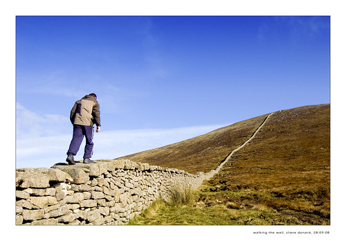
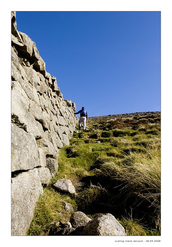
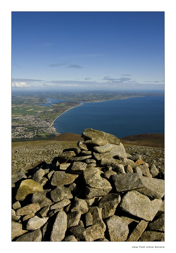
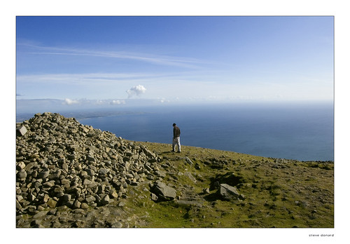
From the quarry, continue to climb along a grassy track which will eventually lead you to the impressive and epic Mourne Wall at the Bog of Donard. Turn right and follow the wall up the steep and rocky incline. The braver can try 'walking the wall', literally walking on top of the wall itself but the steepness can make this quite tricky in places. After a number of false summits, a lookout tower and a large cairn mark the summit of Donard which offers superb views across the range. Retrace your steps back down..

A fantastic walk and as you start from sea level, you'll feel like you've climbed all of the 850 metres.

Donard can also be climbed from Newcastle and I believe that this is an easier, more gradual climb over less rugged terrain.

Photos
Flight Path
Time out at the quarry

The Final Stretch
Jason on the steep 1 in 3 incline towards the top

View from Slieve Donard
View from the summit cairn

On top of the world, looking down on creation
Jason beside the summit cairn

Room with a view
View from the summit cairn

The Mourne Wall
Descending back down towards the Bog of Donard