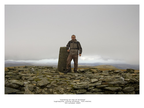
Date First Walked: October 5th 2009
Range: Wicklow Mountains
Mapsheet: 56
Distance: ????
Ballineddan Mountain
Classification: Dillon
Height: 652 metres
County: Wicklow
My Dillon Count: 12
Slievemaan
Classification: Dillon, Marilyn
Height: 759 metres
County: Wicklow
My Dillon Count: 13
Slievemaan
Classification: Dillon, Hewitt, Marilyn, County Top (Wicklow)
Height: 925 metres
County: Wicklow
My Dillon Count: 14
Fresh from the excitment of Sawel and Errigal the previous day, another early start saw me on the road and heading for Wicklow, this time with my sometimes walking colleague Jason for company. For some reason, I find it difficult to get excited by the Wicklow Mountains in the same way that I'd look forward to a walk elsewhere but the prospect of climbing the highest point in both Wicklow and Dublin added a little bit of spice to the walk.
The route of this walk was to pass through the Glen of Imaal Artillery Range so we'd checked the previous week to ensure there would be no firing on the day we intended walking. You can do this by calling the Army Range Warden Service in Seskin School on 045 405653. Just to be sure, we called into Seskin School to double-check on the morning of the walk. The school looks like it hasn't changed since the days it was actually used as a school and after a couple of rings on the doorbell which turned out to be broken, Jason let out a couple of yells of 'Hello' and was greeted with replies of 'Come In' from inside.
The HQ proved to be no more salubrious on the inside and we followed the noise of a TV to an office at the end in which sat a rather portly spectacle-clad middle-aged man in army uniform. The man was in the midst of enjoying a cup of hot tea while battling with a multitude of pullouts and supplements that made up his Sunday broadsheet. With one eye skirting over the front-page headlines about the massive wastage of taxpayers money by Ceann Comhairle John O' Donoghue, the man was also trying to take in an episode of the comedy show 'Love and Marriage' which obviously made up RTE2's Sunday morning schedule. We were provided with a couple of recommended 'safe' routes up Lug and were told that it was alright to descend via Camara Hill. We left the Range Warden Service HQ content that we would not be met with any stray grenades and on the way out, we passed some American tourists who seemed to be slightly confused about the 'Army' building they were approaching.
We started our walk from the woods at Ballinfoyle which is a couple of kilometres away from the 'Dwyer McAllister Cottage'. Some parking is available on the roadside and a gate leads straight onto the slopes of Ballineddan. We quickly realised that we could put away our compasses as the way up the mountain was marked by a very distinct track caused by the dreaded quad bikes. From the gate, it's a pretty leisurely walk up to the small summit cairn on Ballineddan from which there are views across the shoulder to Slievemaan with the large mass of Lugnaquilla behind it.
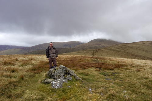
Me on the summit of Ballineddan
The quad track continued across the shoulder and on on up to Slievemaan with a short walk of about 1km leading to the small summit cairn on it's summit. Unfortunately, the summit is badly eroded with the small plateau something of a quagmire as it appears that the quad bikers use this as a place to perform turns ripping up the ground.
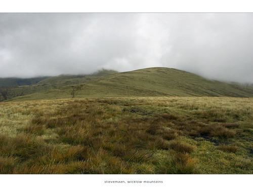
The scarred slope leading up to Slievemaan
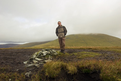
Cairn on the heavily eroded summit of Slievemaan
Slievemaan gives a view across to the giant lump that is Lugnnaquilla whose summit is less that 200 metres higher. Unfortunately, the scars continue on up the face of Lug and the gap between Slievemaan and Lug is extremely boggy in places. From the gap, it's a slightly steeper climb up the south-western face of Lug upto the flat summit plateau known as 'Percy's Table'. Whilst we had clear conditions on top of the mountain, I've been told it can be a confusing place in mist and the impressive 'Prisons' on either side pose obvious dangers. A walk along the summit plateau leads to the huge cairn topped by a trig pillar marking the highest point of the mountain but don't expect to have the summit to yourself as it proved to be busier that my local village shop during our stay there. A directional indicator housed in a rather unsightly square of concrete sits beside the summit cairn and helps sort out the impressive views which look across the Wicklow Range and over to Mount Leinster and the Galtee Mountains to the South West.
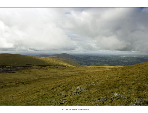
Lower slopes of Lugnqauilla

Photo Op on Lug
Walk back along the plateau taking care to avoid the North Prison and descend the Western Slope in a slight North Westerly direction towards Camarahill. You are now within the confines of the artillery range so only take this route when you are sure no firing is taking place. The last word of caution is to beware of a very muddy area at the foot of Lug as I found that it contains the dreaded floating bog and ended up with one leg waist high in bogwater and a broken camera! After crossing Camarahill, you will reach a stretch of road called 'the Banana Road' - walk a short distance on this and take the first turn to the left which after around 1km will lead across a stream which can be forded across a series of rocks. After crossing the stream, you meet a larger road and need to turn left and follow the road for around 1.5km back to where you parked up at Ballinfoyle.
All in all, quite a handy walk especially when you take into account the height gain. Don't expect to have the hills to yourself as Lug's proximity to Dublin ensures that there is always plenty of walkers on the hills. There are better walks to the summit available from the Glenmalur side of the mountain.

Directional Indicator on Lug

Percy's Table, Lugnaquilla
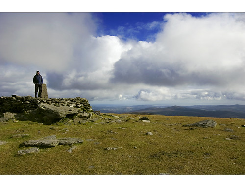
Jason on the summit of Lugnaquilla

Jason descending Lugnaquilla

Jason at the North Prison, Lugnaquilla

No comments:
Post a Comment