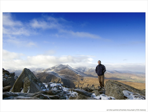
 Date: 16th Feb 2010
Purple Mountain
Classification: Dillon, Hewitt, Marilyn
Dillon Count: 25
Tomies South
Classification: Dillon, Hewitt
Dillon Count: 26
Shehy Mountain
Classification: Dillon, Hewitt
Dillon Count: 27
Tomies Mountain
Classification: Dillon, Hewitt
Dillon Count: 28
Cnoc na Bhraca
Classification: Dillon, Hewitt
Dillon Count: 29
Cnoc an dTarbh
Classification: Dillon, Hewitt
Dillon Count: 30Clear blue skies, splendid sunshine, a gentle cool breeze and a fresh sprinking of snow.. there are some days that are made for walking and with a massive chunk of luck, I was treated to one of these on the one full day I had spare on a trip to Kerry. I had made provisional plans to tick off a few of the easier summits in the area with Boughil, Knocklomena and Knockbrack looking the most likely but these plans were soon put aside when I awoke to the unexpected snow cover.
At the peak of the summer holiday season, the gap of Dunloe is heaving with people and it's long and winding road is the sole property of the infamous jaunties as they hoard the masses up and down the gap on horse-drawn carraiges for the princly sum of thirty quid. At 8am on a winters morning, there wasn't a single person in sight and for a short while, I was the king of the gap as I took the opportunity to drive to it's head. Having jogged the gap a couple of days previous and looked up longingly at the peaks on either side, I couldn't believe my luck to see the same mountains now covered in snow and bathing in the early morning sunshine.
After a short deliberation, I ditched my plans to drive to Barfinny Lough and tackle the peaks in that area instead deciding to park at the head of the gap and head for the summit of Purple Mountain. The key to Purple is to find the fence that runs from the road up to the amazingly picturesque Glas Lough, a perched lake at a bearing of 40 degrees from the head. As you climb, the gap disappears from view and the large impressive bulk of the Eastern Reeks begin to dominate the landsacpe.
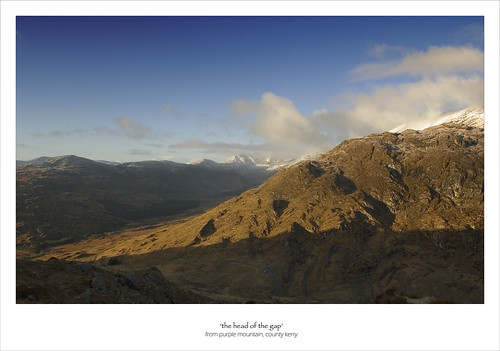
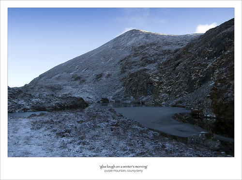
From the lake, a track can be followed up the higher slopes of Purple. The track becomes quite vague in places but if you can stick with it, the going is much easier than wading through the energy sapping heather which gives the mountain it's name. The heather gives way to scree as you move further up the mountain and a cairn marks the first top which has a spot height of 793 metres.
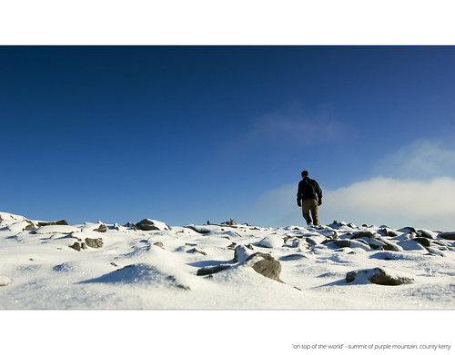
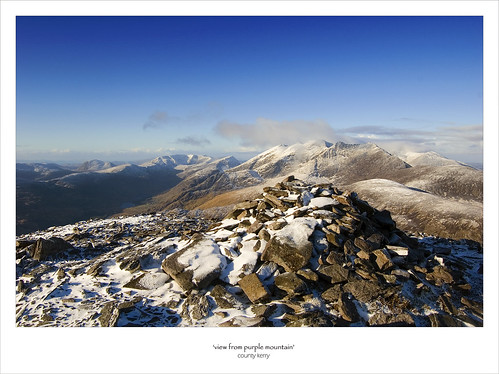
This point gives amazing views across to the Eastern Reeks and from here, it's only a short walk to the summit proper of Purple. The summit is marked by a number of cairns, the largest of which would seem to be at the summit proper. Looking across to the Reeks from this viewing point, you really do feel on top of the world as the ground quickly falls away down to the gap. This top marked another minor milestone being my 25th 'Dillon' to date.

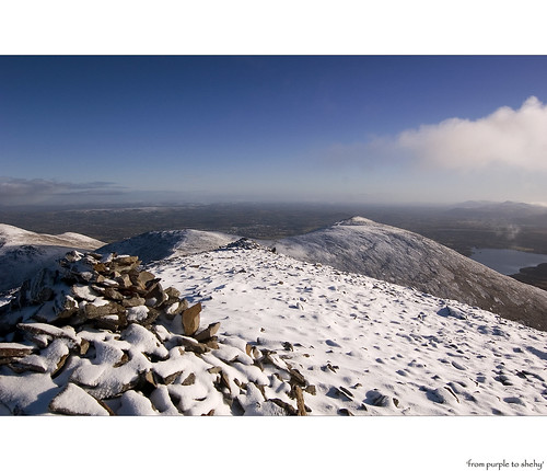
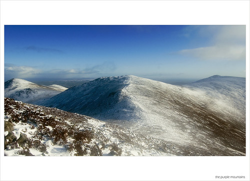
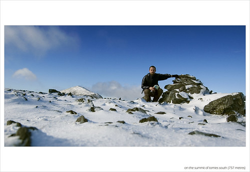
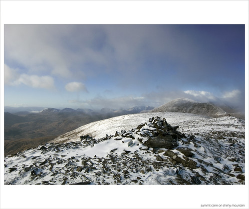
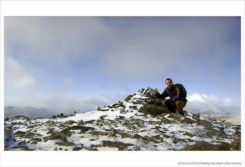
I had heard the climb up Purple described as hellish but I was pleasantly suprised to find it pretty straight-forward. Maybe my recent jogging had begun to pay off or maybe the mountain poses a far greater challenge come summer when the heather nestling on it's slopes comes into full bloom. In any case, the hard work climbing Purple pays off as the summit proves to be something of a peak-baggers delight. From Purple, I had ticked off another couple of tops in what can have been no more that a quarter of an hour. A short walk from Purple led to Tomies South (or Purple North-East Top) and from there, another short stroll through the deepest section of snow took me to the summit of Shehy Mountain.
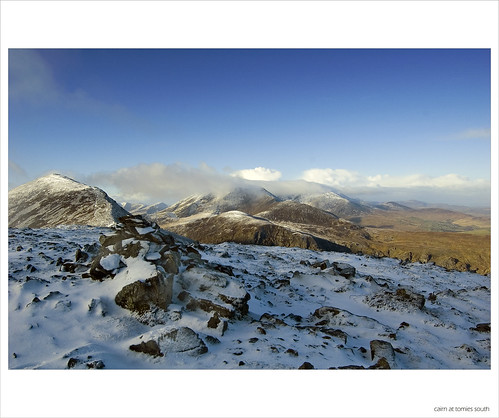
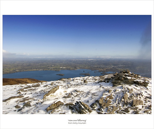
Shehy offers contrasting views to the other tops on the Purple Range. While the reeks dominate the views from elsewhere on the range, Shehy looks down on Lough Leane which is speckled with a handful of small islands and on this morning was glimmering a vibrant shade of blue in the early winter sunlight. The names of the islands on the Lough suggest that each has a story to tell.. Brown Islan and Innisfallen sit beside the intriguingly named Lamb and Heron Islands. Beyond the lake lies Killarney town sitting in a bowl surrounded to the east and north-east by a line of mountains with the eye leading from Magnerton onto Stoompa, Crohane and onto the iconic Paps which I had visited previously, each mountain looking very much like a cup-cake neatly powdered by an icing of snow.
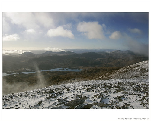
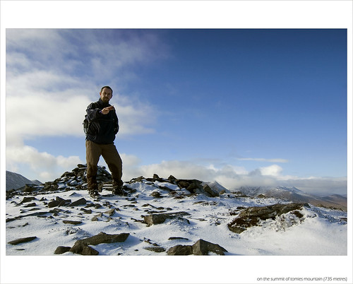
From Shehy, I retraced my steps back to Tomies South from where a steep descent followed by a gentle climb led quickly to the fourth top of the day at Tomies Mountain. Tomies is topped by a large cairn and again offers really exceptional views across to the Eastern Reeks. The highest point of the mountain is marked as 'An Cathair' on some maps. Indeed, there seems to be some confusion about the names of a couple of tops along the range.
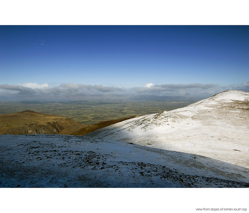
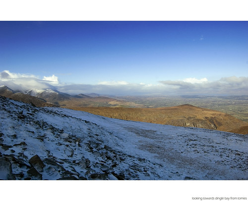
I had considered retracing my steps back to the head of the gap but that would have involved a climb back up the steep slopes of Tomies South so I continued along the direction in which I was following before veering North at the cairn-topped mound below Tomies. The fun ends at this point as the descent quickly becomes tough going through knee deep heather. A good navigational aid is to aim for the brightly coloured green shed as this marks the start of a track back down to the road. I met a friendly couple of walkers on my descent of Tomies and the conversation there formed my plan for the second part of the walk. I had intended walking back up the gap to my car but with the day still young, I decided to take in some of the Eastern Reeks. The woman walker I met suggested taking the 'zig-zag' path up to Strikeen hill and following the plateau across to the reeks.
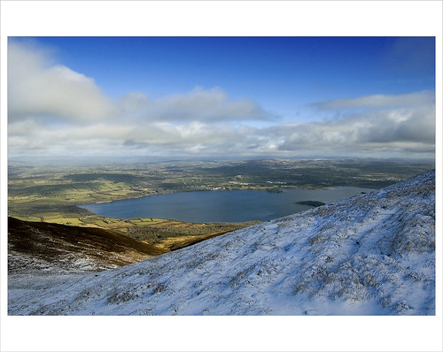
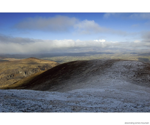
The trudge down Tomies proved to be tiring and by the time I had passed an empty Kate Kearneys and reached the bottom of the Turf Road, a slight cramp in my legs placed doubts in my mind about tackling the Eastern Reeks. A short break for a snack and a drink rectified this and the zig-zags provided a gentle way of ascending to the plateau as well as providing great views down to the gap along the way.
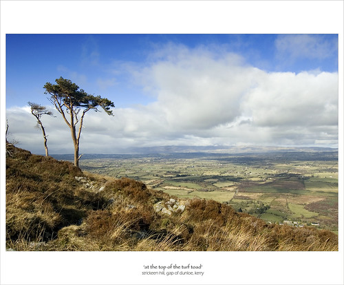
My main concern had been the blanket bog at the foot of Strikeen which gave the turf road it's name. The road gave access for locals to cut turf for use in their homes and although some cuttings could still be seen, the ground wasn't anywhere near as heavy as I had anticipated. The elevated plateau across to the reeks really is a special place with the mountains rising majestically above the flat plain to the West.
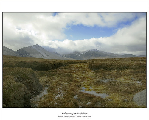
The walk across the bog will eventually bring you to the foot of Cnoc an Bhraca. This is the starting point of the famous Reeks Ridge walk and you can avail of the distinct path to take you all the way to the top of the mountain which is marked with a large cairn. The snow cover meant that I wandered from the path on a couple of times but the climb is quite easy going and the small exertion is well worth it for the stunning view across to the Eastern ridge. The view leads the eye firstly to the grotto on Cruach Mor and then on along the razor-sharp edge leading to the impressive Big Gun.
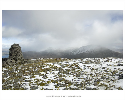
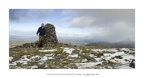
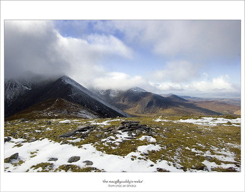
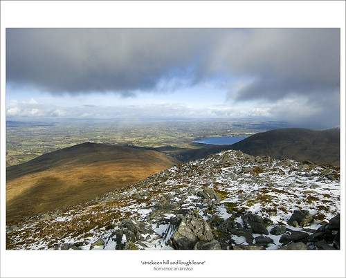
From Cnoc an Bhraca, it was a very short crossing to the sixth and final top of the day. Cnoc na dTarbh translates as 'hill of the bulls' and the only logical explaination I could get for the name was that it was named after one particular rock formation among the many on its summit which resembled the horns of a bull when viewed from a certain angle.
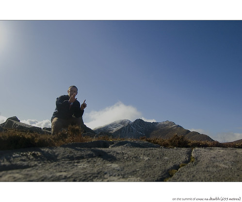
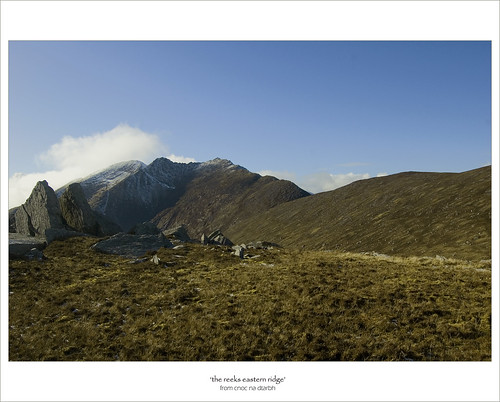
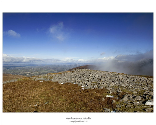
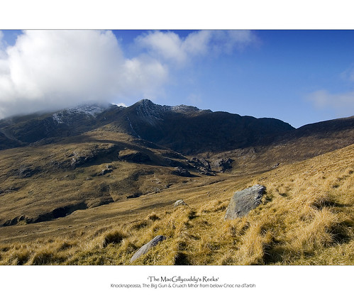
Taking advice from the woman I had met earlier on the slopes of Tomies, I descended Cnoc nd dTarbh by keeping on the Black Valley side of Drishana to avoid the worst of the ground and my tired legs were very glad of the easy going. In fact, I strayed a bit too far towards the Black Valley side and came out on the road quite close to the road juntion between the gap road and the Black Valley road. Looking down on the Black Valley, it is easy to see where it gets it's name.
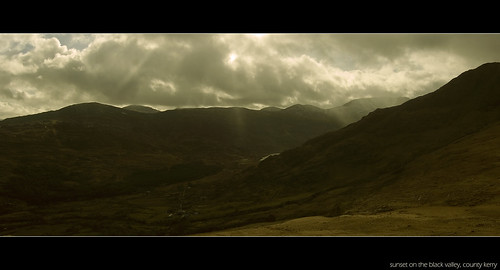
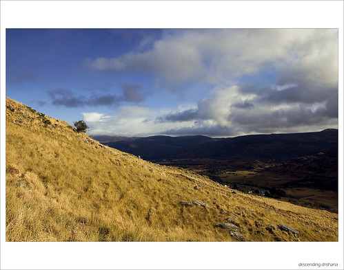
Surrounded by mountains, the valley lay in shadow while the bright sun lit up the surrounding landscape. Due to it's orientation and the positioning of the mountains around it, the valley manages to avoid direct sunlight for a large proportion of the day. A walk of around 1km took me back to the welcome sight of my car feeling exhausted but delighted with the 6 Dillons I'd bagged and a very enjoyable days walking.
 Slievelamagan
Classification: Dillon, Hewitt, Marilyn
Date Walked: 7th February 2010
Height: 704 metres
County: Down
My Dillon Count: 24
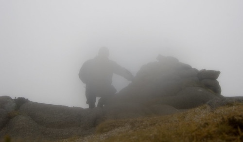
The Mournes.. When they are good, they are good but when they are bad... well, they are just horrid! On this particular morning, they were akin to the stereo-typical teenager on a lazy Sunday morning - lying under a thick blanket and refusing to get out of bed! I arrived at an empty Annalong Car-park to a blanket of fog so thick that you could almost taste it. The normally scenic drive from Newry out through Warrenpoint, Rostrevor and on towards Annalong offered up no views of the hills whatsoever. As I set off walking from the car-park, I could barely see the wall from one side of the laneway to the other and the fog had painted anything that I could see in a million shades of grey.
What mornings like this do provide is an opportunity to test out some navigation skills. The various tracks and trails around the Mournes (along with the Wall) offer a level of comfort and provide surely one of the best locations for cutting your navigational teeth. The walk from the car-park to the gap between Binnian and Slievelamagan demonstrated this fact with a very distinct track leading the way which was just as well as the fog along this stretch was as thick as I had experienced. I passed by Annalong Wood barely able to see the trees, walked by an invisible Blue Lough and trailed along the foot of Slievelamagan without being even able to glimpse it it's famed steep slopes. There is something a bit unnerving about being at the bottom of something so massive, fully aware that it is there yet unable to see it. The track does branch off in a few places and I would highly recommend the excellent OSNI 1:25000 map which has each branching faithfully reproduced.
When you reach the point where the track is crossed by another distinct trail running from Binnian across to Lamagan, simply bear right and follow this second track up the slopes of Slievemagan. This was my first walk with a GPS having borrowed a friend's to try out. After taking a compass bearing to the summit at the gap, I also marked a waypoint as I wasn't sure how distinct the track up Lamagan would be. It turned out to be more a dual-carriageway than a track so much so that I was half expecting to see a retail park plonked somewhere along the climb. What the GPS does offer is another layer of comfort in such poor visibility as well as a countdown informing you how far you have to go to reach the summit.
I had read that Slievelamagan was the hardest of the high Mournes peaks to climb. Indeed, it's name translates as 'the creeping/crawling moutain' or 'by hands and feet' supposedly so called because of it's relentlessley steep slopes. Given that I couldn't see these relentlessley steep slopes, I had no idea what I was facing into but I was relieved to find that the pull to the summit wasn't as tough as I had anticipated and I soon found myself at the large cairn. The reputed great views of the range were denied to me due to the fog which was so thick at the summit that my camera packed in due to the dampness. I had provisionally planned for a traverse to Cove but decided to leave that for another day and retraced my steps back down to the gap.
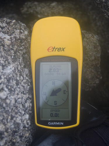
SLVLMG 2.83m
At the gap, I threw my coat into my backsack and jogged back down the track through Annalong Valley. The run took me back past the hidden Blue Lough and along the edge of the barely visible forest. Ever so often, a group of walkers would suddenly emerge from one side of the soup-like fog before quickly disappearing into the other side. My legs were heavy by the time I got back to the car park and I resolved to purchase some trail runners for my next trip to the Mournes.
GPS InfoDownload the gps trace (as .gpx format)
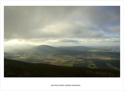 Kippure
Classification: Dillon, Hewitt, Marilyn
Range: Wicklow Mountains
Mapsheet: 56
Walked previously
Kilbride Circuit
Date First Walked: Decemeber 12th 2009
Range: Wicklow Mountains
Mapsheet: 56
Distance: 11km
1. Seefin
Classification: Dillon
Height: 621 metres
County: Wicklow
My Dillon Count: 20
2. Seefingan
Classification: Dillon, Hewitt
Height: 724 metres
County: Dublin/Wicklow
My Dillon Count: 21
3. Corrig Mountain
Classification: Dillon, Hewitt
Height: 618 metres
County: Dublin/Wicklow
My Dillon Count: 22
4. Seahan
Classification: Dillon, Hewitt
Height: 648 metres
County: Dublin/Wicklow
My Dillon Count: 23
After what seemed like an eternity of weekends cancelled due to the Irish weather, the incessant rain finally stopped and the wind died down giving us a much-welcomed chance to get back out onto the hills. The varying plans for successive previous weekends, all of which had been cancelled, had included a walk up Croagh Patrick, a traverse of the Knockmealdowns and a walk in the Mournes. With the forecast predicting a dry weekend, we settled on a trip down to Wicklow having decided that negotiating the pre-christmas traffic around Newry would rule out the Mournes. I was joined on the trip by my neighbour Jason.
Compared to other ranges around the country, the rounded granite mountains of Wicklow can seem quite dull while the raised and blanket bog covering the range can make for very heavy going in places. In the past, I've struggled to get enthuaistic about a trip to Wicklow but this was overcome somewhat by the choice of an interesting circuit of the Kilbride Rifle Range to take in the 'Three Sees', namely the mountains of Seefin, Seegingan and Seahan, all of which were topped with passage tombs. The circuit also takes in the boggy hump of Corrig Mountain.
To add further flavour to the morning, we decided that we'd combine a recently resurrected hobby of running with our interest in hillwalking by staring off the morning with a run up the access road to the summit of Kippure. And so, at 9am on a cold Saturday morning, we found ourselves limbering up beside the gate at the foot of the access road looking up at the cloud-covered summit of Kippure for a glimpse of the RTE transmitter. Around 25 minutes later, I rounded the far corner of the fence enclosing the mast to reach the lonely trig pillar. Next step is to try out some hill-running proper! This was the second time I'd stood at the highest point of Dublin and like the last time, I was denied any view of the surrounding hills and could only catch glimpses of the 120 metre high mast as the clouds scurried by.
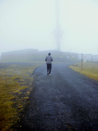
Jason nearing the top of Kippure
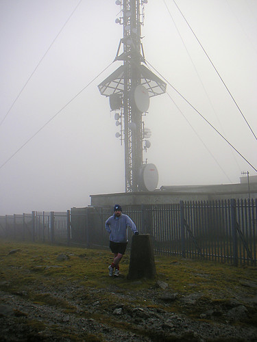
Feeling sumg after running up Kippure
After a leisurely jog back down the road and a bar of chocolate, a short drive took us to Kilbride Rifle Range outside which there is room for parking. From outside the range, a short walk along the road in a southerly direction takes you to it's edge where a fence runs uphill along a forest. You will pass a flag-pole which indicates whether or not firing is taking place in the range. It's then simply a case of following the edge of the forest uphill until it swings right at which point you need to take a bearing uphill. In keeping with my experience of the Wicklow Hills to date, navigation is easy due to a distinct track which leads all the way to the large cairn marking the summit of Seefin.

Jason atop Seefin
The impressive passage tomb is something of a miniature Newgrange and is the most interesting of the circuit. You will need to be both slim and agile to squeeze through the very narrow portal into the equally narrow and dark passage. However, you don't necessarily have to squeeze through the passage to get to the burial chamber itself as the roof of Seefin is open, presumably having collapsed at some stage in the distant past. A short and easy walk up Seefin would be the perfect walk for children who would enjoy exploring the cairn. Seefin marked something of a minor milestone for me being the 20th Dillon that I had climbed to date.
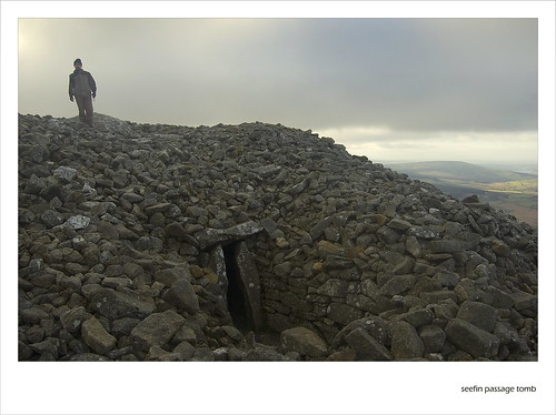
Me on the passage tomb atop Seefin
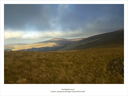
Seahan, Corrig and Seefingan viewed from below seefin
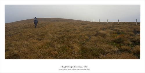
Jason crossing from Seefin to Seefingan
From Seefin, a short walk of about 1km along the edge of the firing range in a north-easterly direction takes you to Seefingan. A small section of boggy ground needs to be negotiated between the hills before reaching the broad summit of Seefingan. The cairn on Seefingan is similar in size to that of Seefin but unlike it's neighbour, it doesn't have a portal or chamber although an indentation on the east side of the cairn looks like it could have been a passage entrance. The cairn is topped by a concrete pillar which marks the edge of the firing range. The cairn is positioned away from the summit proper, presumably as it's position would make it more visible from the ground below. The summit proper is around 200 metres away from the cairn towards Kippure and for completionists, some very boggy ground has to be encountered to reach the top which is marked with a firing range sign.
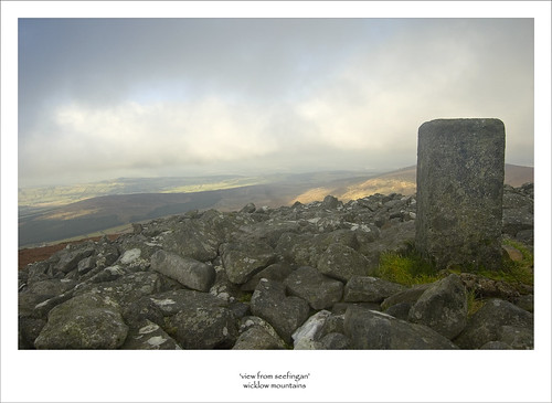
View from the cairn on Seefingan
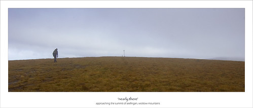
Approaching the summit proper of Seefingan
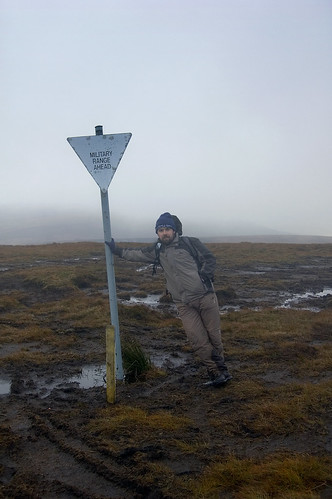
Me at the summit proper of Seefingan
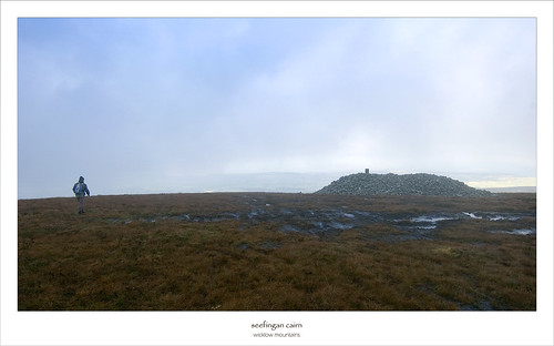
Walking across to the cairn on Seegingan
Next up is a longer slog across boggy ground towards Corrig Mountain, the poor relation of the circuit but a 'Dillon' nonetheless. The trudge was made worthwhile as the cloud-cover began to move away opening up stunning views across the Wicklow Mountains, the summit cone of the Great Sugar loaf poking out over the distant hills looking very much like one of the Great Pyramids of Egypt. The summit of Corrig is marked by another concrete pillar stood in the middle of a boggy pool. What the summit lacks in appearance, it makes up for with excellent views out to Dublin with Howth and Ireland's Eye visible to the North of the capital.
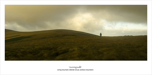
Heading for Corrig Mountain
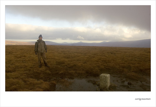
On the rather plain summit of Corrig Mountain
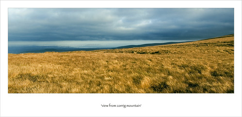
View from Corrig across Dublin and Howth
A very distinct and wide track leads from Corrig to Seahan, the last top of the circuit. For the first time of the day, the sun broke through the grey clouds and illuminated and coloured the slopes of Seahan. A short and easy walk of about 1km takes you to the top which contains a passage tomb, a cairn and a wedge tomb. The summit is marked by a large trig pillar sat atop the cairn. Again, the views are excellent and the summit of Seahan offers the best perspective of the circuit which you have just walked, the previous three tops clearly visible. From Seahan, head south-easterly to meet a track which will take you back to the road from which a walk of around 2km will take you back to the entrance of the firing range.
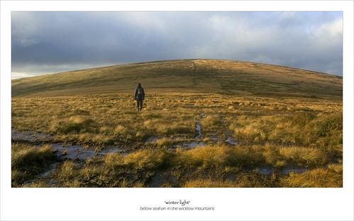
A rare bit of sun lights up the slopes of Seahan
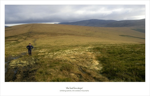
Jason climbing Seahan - Kippure mast visible in the background
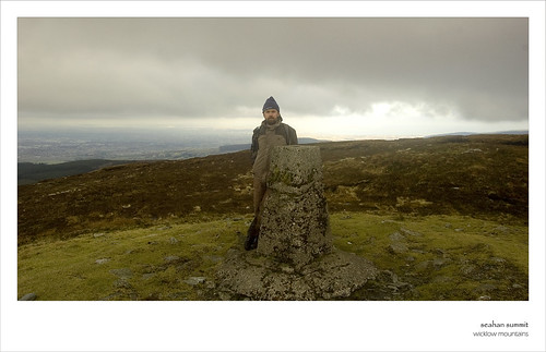
Me at the summit of Seahan
The circuit of the Kilbride Rifle Range offers the ideal walk for a winter's day. At 11km, the circuit can be comfortably completed in 4 hours while the cairns offer plenty of interest during the walk. It might be worth considering doing the route in reverse (Seahan first) thereby keeping the best tombs until last.
More Photos
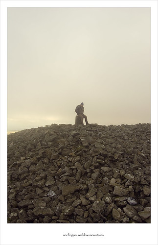
Time out on Seefingan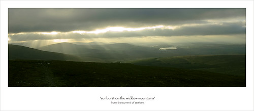
The sun breaks through the clouds over the Wicklow Mountains (from Seahan)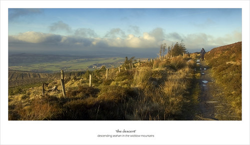
Descending Seahan - Find the track and you are grand!
Seefingan and Seefin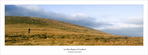
On the slopes of Seahan

